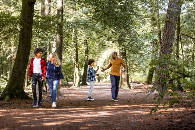
Walking
Secret hiking tips from the ranger
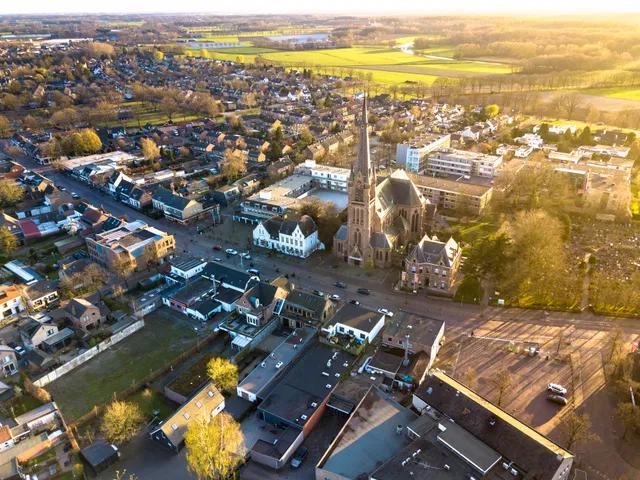
We are heading out into nature in large numbers. But are there still quiet spots near Breda where you can walk in peace? Forest areas without overcrowded hiking trails?
We asked forest ranger Patrick Raats from Staatsbosbeheer and he shared ten secret tips with us. Shh, don't tell anyone!
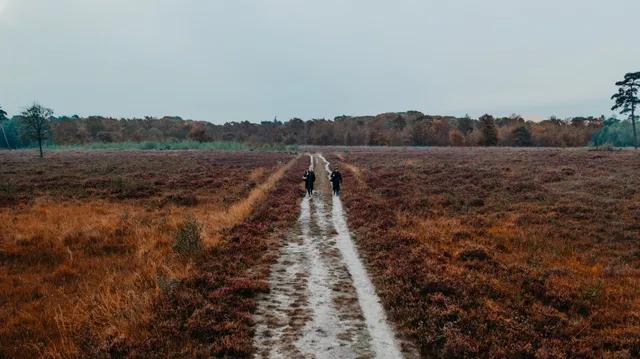
Het Liesbos
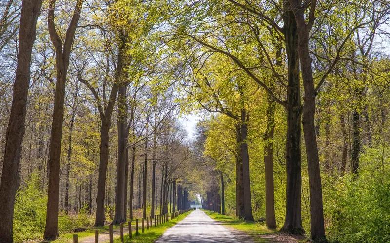
Het Liesbos is the largest old oak forest in our country. In spring, the forest floor is covered with delicate white wood anemones. Also characteristic are the monumental avenues, created for the hunting of the former noble owners to move their hunting carriage quickly and comfortably.
Particular is 'het rondje', also called Hemeltje, with a large, old plane tree, surrounded by beech trees, some of which have fallen over. The plane tree is used as a 'fever tree or rag tree'.
Fun fact: The name Liesbos probably comes from the wild rye grass that has been growing here for centuries.
Where? Between Breda, Etten-Leur and Prinsenbeek
Route: Yellow route (3 km). Starting point: Parking lot, Leursebaan (N636), Breda
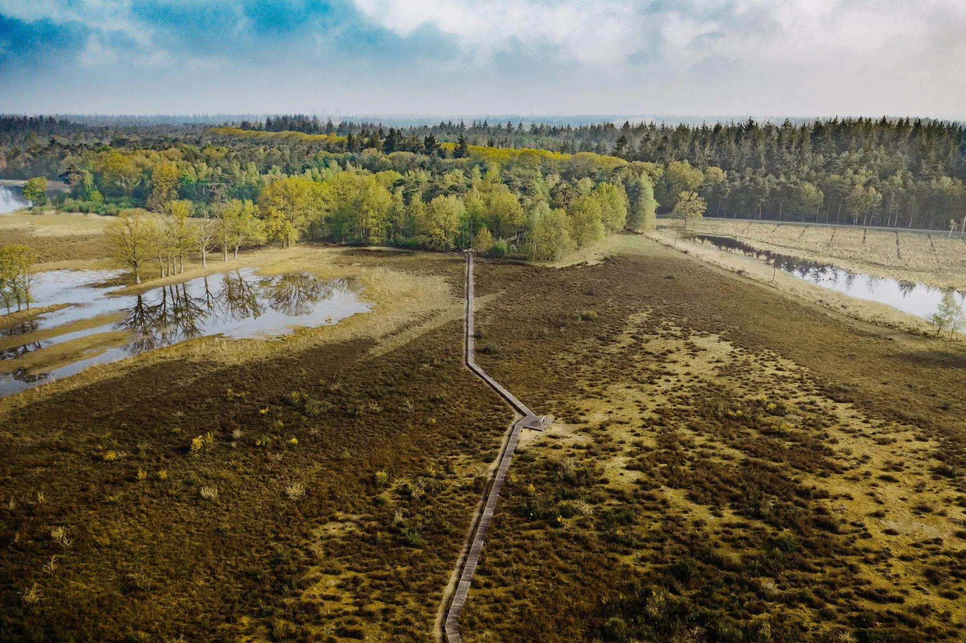
Kelsdonk
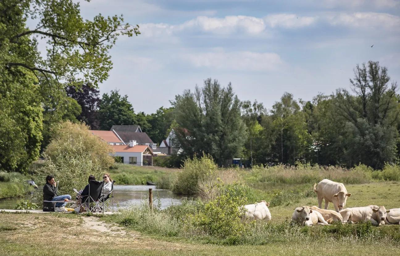
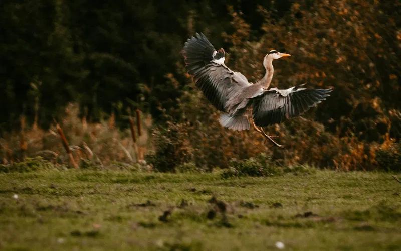
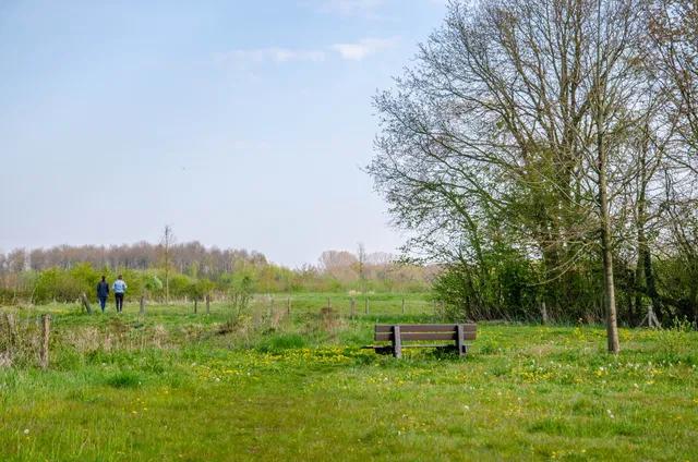
In the Kelsdonk you will find a wide landscape consisting of low grassland with lots of water and narrow strips of forest, also called 'frikken'. In the winter, many ducks and geese stay here, while in spring typical meadow birds find their place here. The area is an old water storage area and therefore always wet. A beautiful place to spot birds. Put on your boots and enjoy a walk through this open and varied landscape.
Where? North of Etten-Leur
Route: Boot path (4 km). Follow the green signs. Start route: Intersection Bollendonkseweg, Windgat, Haansberg (set navigation to Windgat 35, Etten-Leur)
De Spinolaschans
Walking on old Spanish defensive works. Between Terheijden and Breda lies de Spinolaschans, a defensive work from the time of the Eighty Years' War. The fort is still clearly recognisable in the landscape with its four bastions, paved road and moat.
The Spinolaschans today forms a beautiful nature reserve for walking.
Where: Hartelweg Breda (from Breda towards Terheijden on the right)
Route: Free walking on roads and paths between sunrise and sunset
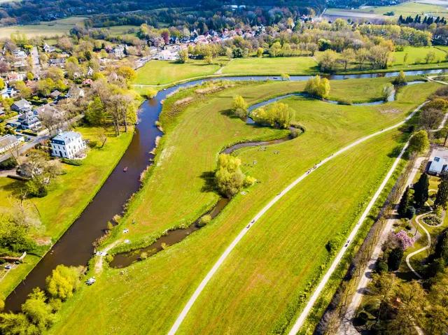
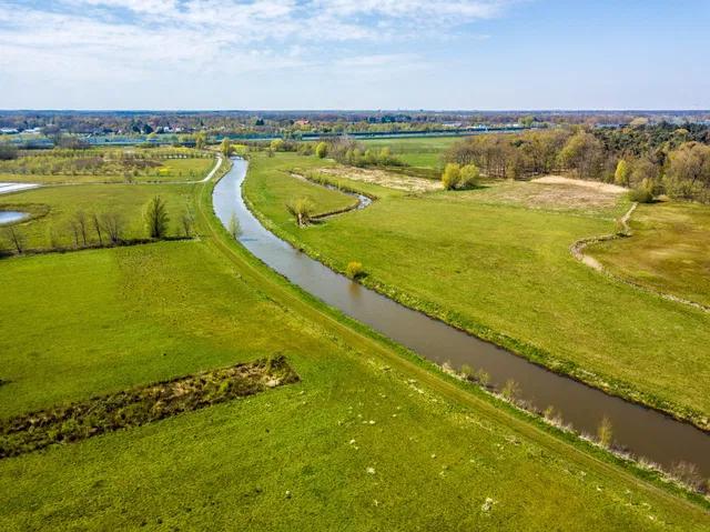
The Merkske
Typical old Brabantian landscape. The Merkske, a tributary of the Mark, forms the natural border with Belgium. The valley, spanning over 1000 hectares, has been left untouched for a long time, allowing nature to take its course.
The landscape is characterised by small fields, hedgerows, and the meandering river Merkske. In this landscape, you can momentarily feel transported back to the time of Vincent van Gogh, with undulating terrain intersected by sandy paths.
Experience nature at its best with the blue or red boot paths. Wander along narrow paths through wet shrubs and grasslands, enjoy the open fields around you, and take a moment to appreciate the unique flora and fauna.
Where? Castelré, on the border with Belgium
Route: Route Zondereigen (6.5 km), signposted with blue boots. Starting point: SBB information panel at Eikelenbosch, also accessible via Dektstraat.
Route: Castelreesche heide (11 km), signposted with blue boots (or red boots, 7 km). Starting point: car park at Hoogstraatsebaan near the SBB information panel.
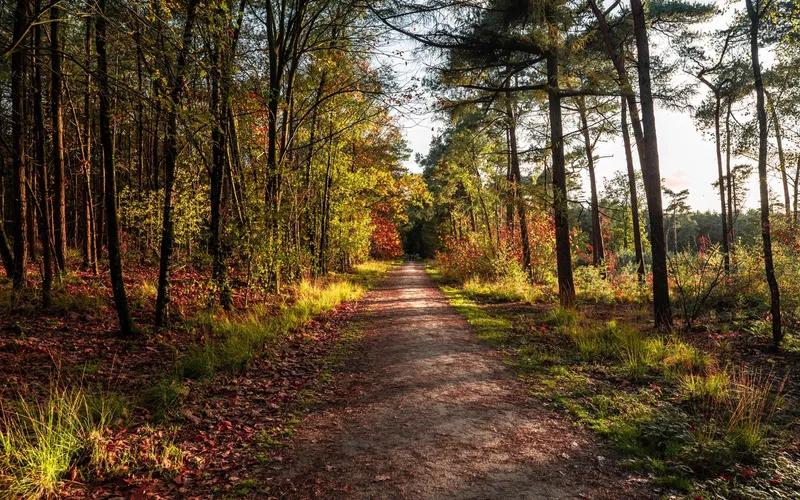
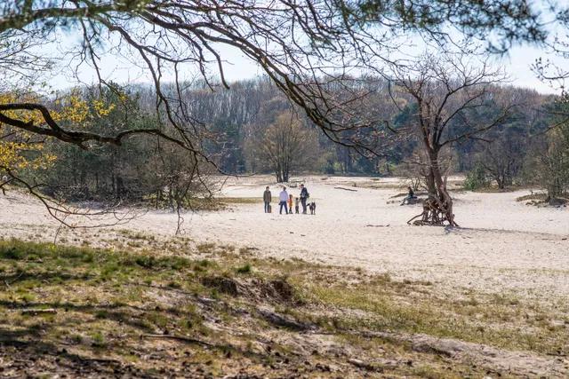
De Berk
Nature reserve De Berk is characterised by the many peat ponds of various sizes, nature, and ages. Peat used to be excavated here, which has led to the formation of the ponds. The ponds are still clearly visible in the landscape. The landscape has developed into a mixture of water, open areas, and swampy forest. This gives it a fairytale-like feel, as if you are walking through the past. A very diverse and species-rich area where you can encounter animals all year round such as deer, waterfowl, and hares.
Where? Above Liesbos, north of Etten-Leur
Route: The Molenpad (7 km). Follow the red markers. Starting point: P-place at the intersection of Zevenbergseweg and Strijpenseweg, Etten-Leur.
The Ulvenhoutse Voorbos
The Ulvenhoutse Bos forest consists of the Sint-Annabos, Voorbos, Nieuwbos, Prinsenbos, and Chaam forests. Some parts of the Voorbos and Chaam forests are about 1,000 years old. This is very special, as such old forests are rare in the Netherlands. Enjoy walking through deciduous and coniferous forests with ditches and trenches containing welling groundwater.
Where? South of Breda
Route: Blue trail (5 km), also accessible for wheelchairs and pushchairs, and the red trail (5 km). Starting point: De Fazant, Annadreef
Route: White and Blue trails in the Annabos forest. Starting point: Geersbroekseweg
Where? South of Breda
Route: Blue trail (5 km), also accessible for wheelchairs and pushchairs, and the red trail (5 km). Starting point: De Fazant, Annadreef
Route: White and Blue trails in the Annabos forest. Starting point: Geersbroekseweg
Strijbeekse Heide
Follow in the footsteps of the smugglers and walk the border between Belgium and the Netherlands on this forest ranger's path over the Strijbeekse Heide. In August, the heather turns purple, although a walk around the island in the Goudberg is magical in every season.
Warning: this walk partly crosses into Belgium! Don't forget your passport or ID card.
Where? South of Breda near Strijbeek
Route: Forest ranger's path Smuggler's Route. Follow the posts with the pictogram of the smuggler to walk the 9-kilometre route. Starting point: The Smuggler, Goudbergseweg 8, Strijbeek
Haagse Beemdenbos
The Haagse Beemdenbos is a young river forest that is becoming increasingly wild. It was planted to protect the city of Breda from getting wet feet. The forest acts as a buffer during high water levels, so make sure to bring your wellies!
Due to the influence of water, it is a dynamic area where you can enjoy wandering around. Due to the variety of forests and grasslands, it is an ideal habitat for various animal species such as hares and deer.
Where: To the northwest of Breda
Route: Free walking on roads and paths between sunrise and sunset.
Chaamse Bossen
Where once there were sand drifts and wet heathlands, forest area Chaamse Bossen was created between 1900 and 1934. The area was drained, and wet spots were converted into grassland. This is what gives the area its surprising variety.
Former agricultural areas are now being restored to their original state. This will bring back ponds and marsh areas. Explore the forests on foot or visit the Chaam speel Bos on Gilzeweg.
Where? Near Chaam, south of Breda
Route: Blue route (6 km). Starting point Gilzeweg
Route: Hiking routes Yellow (3 km) and Red (6 km). Starting point parking lot SBB, Alphensebaan.
Gooren and Krochten
The Gooren and Krochten is a long area. It consists of marshy landscapes interspersed with higher dry areas. Together, this creates a unique combination of various plants and trees in the nature reserve.
The area has two routes, which can also be combined to experience the nature at its best. These routes take you along paths through marshes, overgrown passages to open heathland, and through dark coniferous and deciduous forests. Along the way, you will also pass typical Zundertse tree nurseries.
Where: East of Zundert on the border with Belgium
Route: Yellow route (11 km). The route is divided into three parts, which can also be followed separately. Starting points: Meirseweg car park and Krochtenweg car park.
More hiking tips?
Walk the smuggling route
Article
Region

5 short walks through Breda
Article

Walking
The best city walks in Breda
Article
History
Liberation walk through Breda
Walking route - 2.5 km
City walk