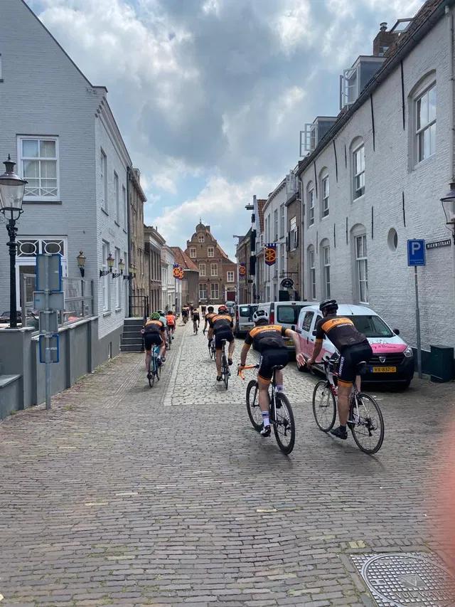

Cycling route Around Heusden - Marten
Walking route - 106 km
Sandwiched between the Beukenlaan, Seminarieweg and the A27, once lay the Lordship of Ypelaar (pronounced Iepelaar). The Seminarieweg connected Bavel with Breda and forms the watershed between the catchment areas of the Molenleij and the Bavelse Leij.
The original little castle no longer exists. However, in this area, the St. Joost Art Academy is located in the former seminary. The last function of the existing manor house was a monastery.
A walk around the large pond is approximately 1.5 km, but you can also take a longer route.
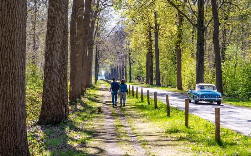
Together with the municipality of Breda, the Brabantse Milieufederatie created 'Ommetjes'. Most of them through nature reserves that the municipality has developed or made more attractive in recent years. The routes mostly run over sandy paths or so-called laarzenpaden (boot paths).
Download the walks and enjoy:
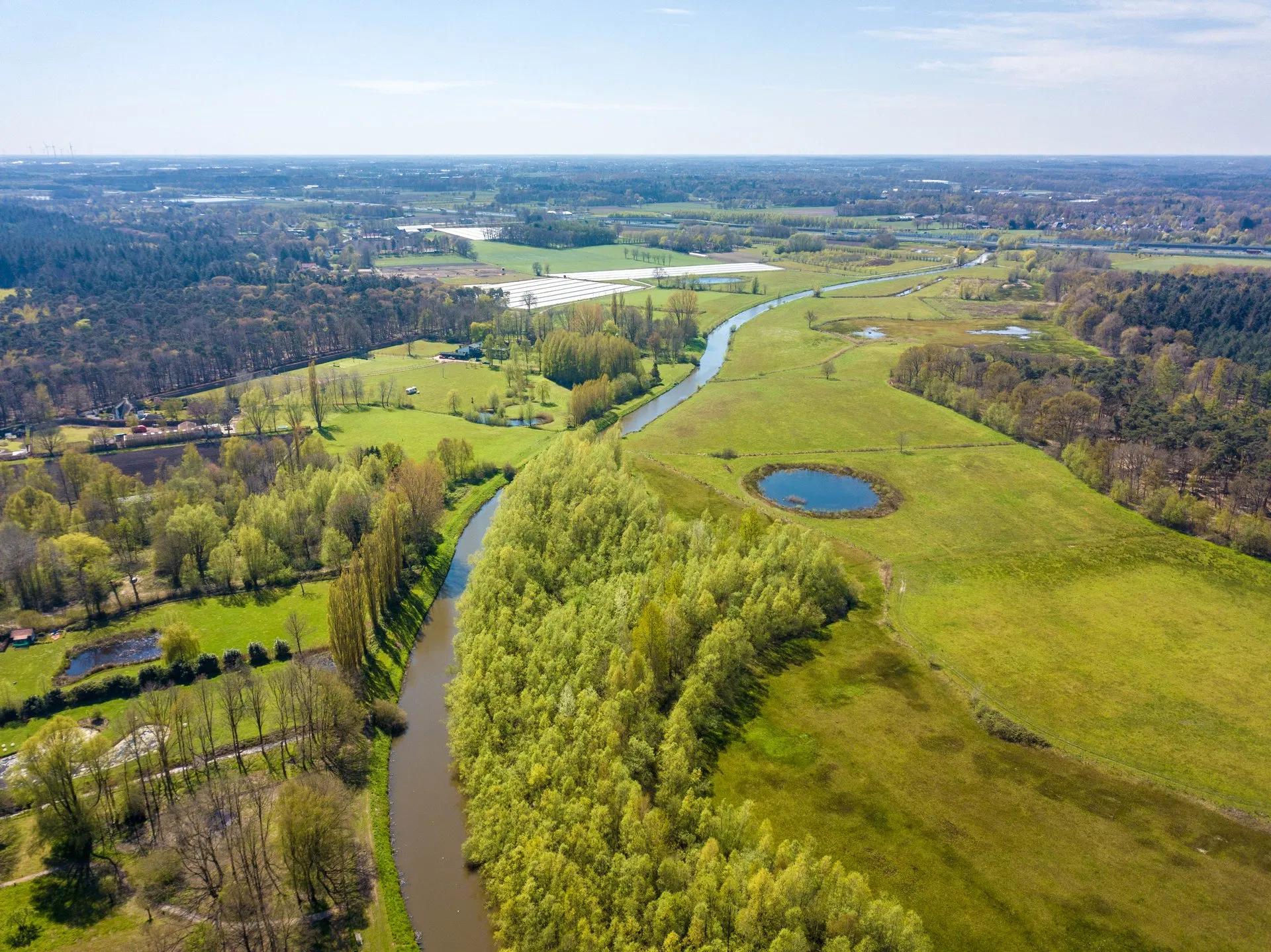
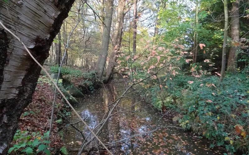
The Zaartbos is a small forest in South-West Breda. It is located next to the river Aa of Weerijs, which originates in Belgium. Breda likely owes its name to the Aa river as well. At the point where the Aa river merges with the river Mark, it was referred to as the Brede AA... thus Breda. You can hike different routes here, through the forest itself or along the river.
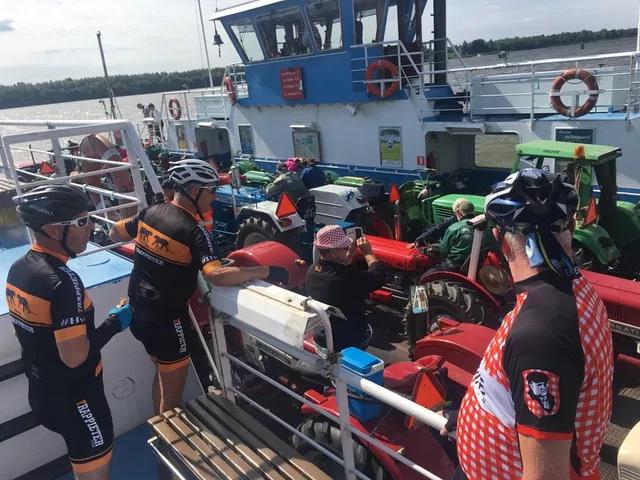
You don't have to go far to find beautiful nature. Along the Aa or Weerijs rivers, there are plenty of idyllic spots to discover, each special in its own way every season. Aggie van Dongen created a walking map with nine walking routes averaging twelve kilometres each. Sometimes you may come across a pleasant surprise, like a ferry to cross the Aa or Weerijs. The map is available for purchase. Sales points and routes can be found at www.wandelen-aaofweerijs.nl
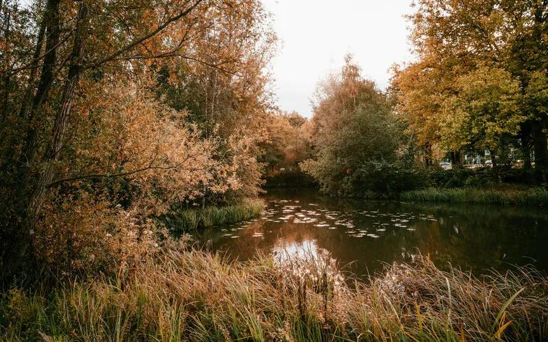
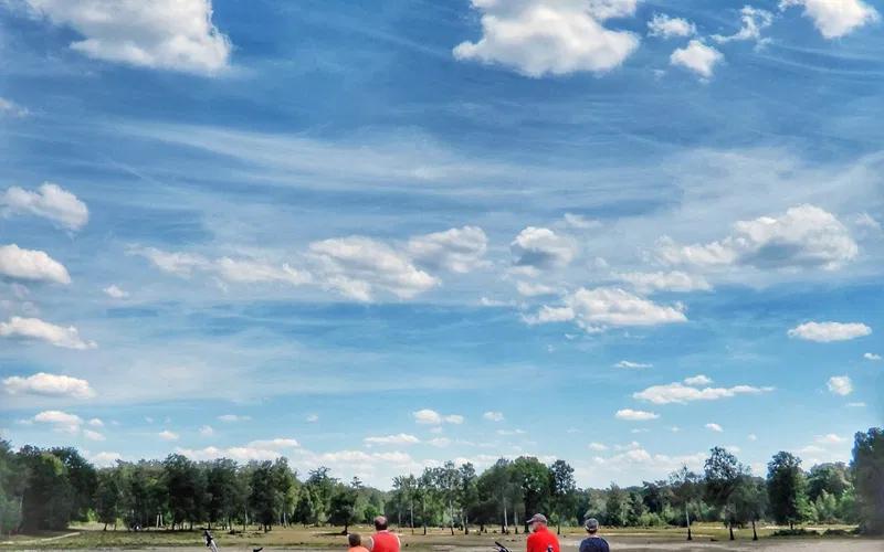
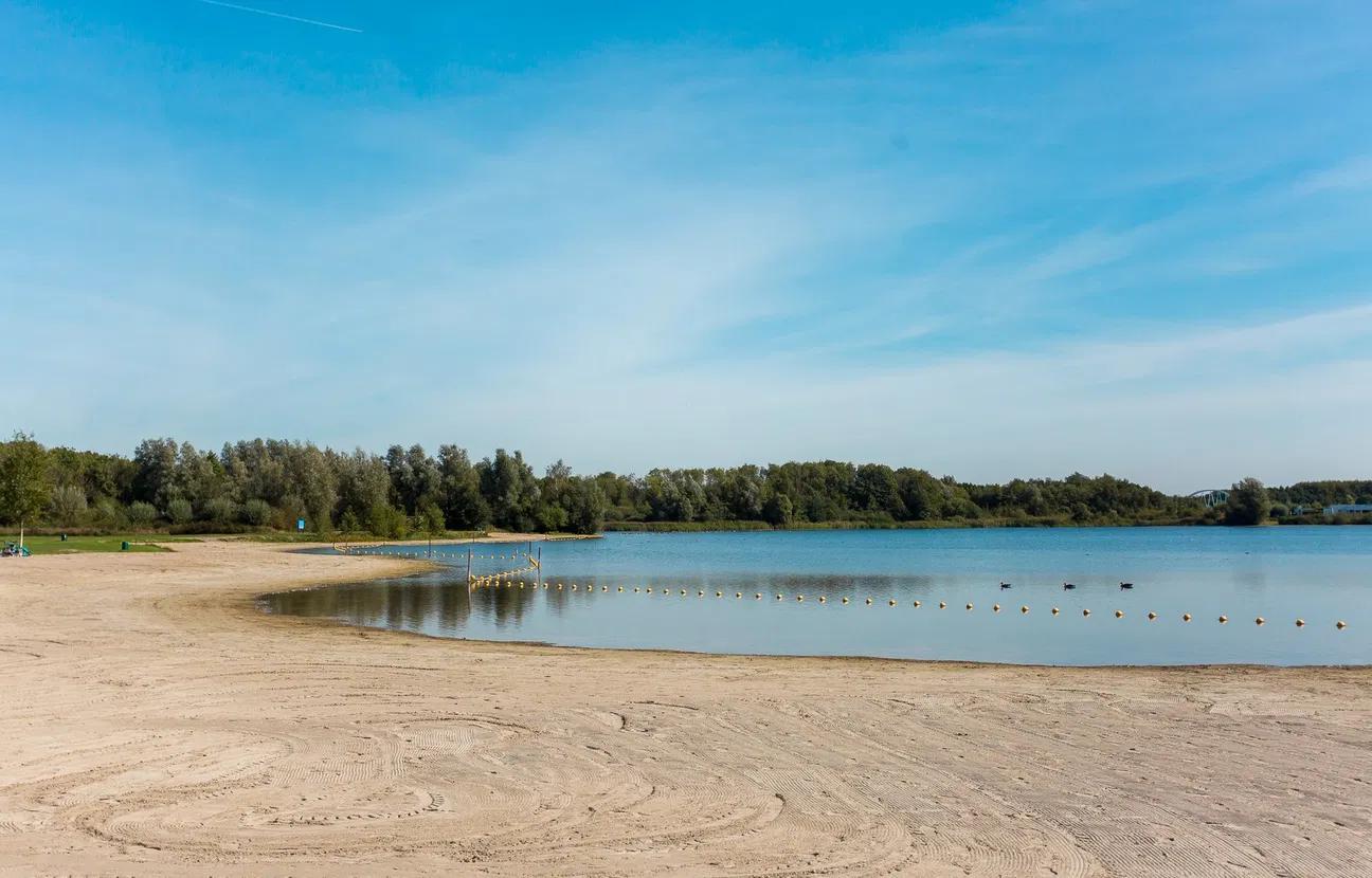
We know Haagse Beemden as a large residential area and because of the Haagse Beemden Loop. Did you know that there is also a beautiful nature reserve here? The Haagse Beemdenbos is a river forest and therefore wet for most of the year. The area covers 84 hectares and due to its marshy nature, you can find a variety of different tree species, marsh plants, amphibians, beetles, birds and of course, plenty of water. The area is located between the Asterdplas lake and the village of Terheijden. There are no real hiking or cycling paths, but this makes it all the more adventurous. BN de Stem wrote an article about this river forest.
Estate Wolfslaar is the area around the Wolfslaar Mansion in the south of Breda. A peaceful place for a delightful walk. You can also find the petting zoo (Farm Wolfslaar) here. From the Farm, a number of walking routes start, which are certainly suitable for families with young children. This way, they will learn some historical facts about Wolfslaar.
Especially for @explorebreda, we have created the 7 km walk 'Round Wolfslaar and Markdal'.
Wolfslaar has also been declared a Nature Gate. You can park for free here and from this point, you can plan your cycling and walking routes based on the junctions. More information about Nature Gate Wolfslaar
Where once sand dunes and wet heathland lay, the forest district Chaamse Bossen was created between 1900 and 1934. The area was drained and wet spots were transformed into grassland. This is what gives the area its surprising variety. Former agricultural areas are now being restored to their original state. This is creating ponds and marsh areas once again. You can explore this area on foot, by bike, or on horseback.
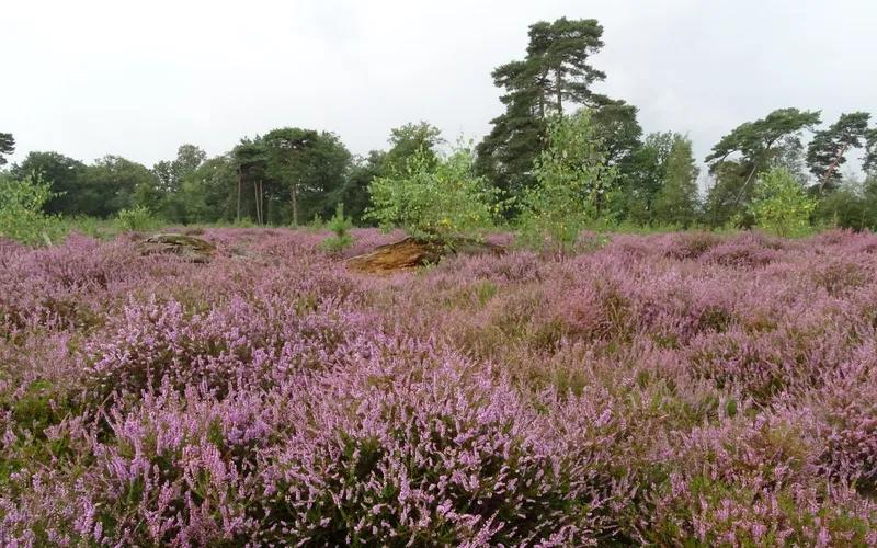
On the Strijbeekse heath, Staatsbosbeheer has put together a varied hike through pine forest, along heathlands, pools and so-called 'flying pines'. Want to make it a bit more exciting? Then follow in the footsteps of the former smugglers and take the Smugglers' route in the border area.
Did you know that the Liesbos, located between Breda and Etten-Leur, is the largest old summer oak forest in the Netherlands? In spring, the forest floor is covered with a layer of delicate white wood anemones. Two reasons to take a stroll there! Staatsbosbeheer has created a route of almost 3 km.
Oosterhout is just around the corner, and the Vrachelse heath must not be missing from this list. It is a varied area with routes over the heaths and through forests and polders. RouteYou has put together several routes that you can start from Breda North (Hoge Vucht/Teteringen), for example.
De Leemputten near Dorst is a beautiful and diverse area with forests, sand dunes, and clay pits. These water bodies were formed about a hundred years ago due to the clay extraction for the brick factory De Vijf Eiken. The area was long used as a natural swimming pool called Surae, but since 2005 it has been returned to nature by Staatsbosbeheer. Enjoy a lovely walk around the ponds here. Parking is available at restaurant Beum on Wethouder van Dijklaan. It's also a nice place to relax after your walk!
During this walking route, you will pass by a part of the murals of the Blind Walls Gallery, the museum on the street. International artists work on a growing collection of murals, inspired by the past, present, and future of Breda.
Download the app and walk the route through the city centre or check for more information and other routes on the website of Blind Walls Gallery.
Tip with children: Toeractief made a 6.5-kilometre walk through (mainly) the centre of Breda, with street art as the connecting theme. During the walk, you will pass by various playgrounds, making it extra fun for children! More info.
Park your car at Natuurpoortcafé Bos & Co (Vijf Eikenweg 56, Oosterhout). From here, you are just a minute away from the beautiful nature reserve of Boswachterij Dorst where you can follow short and long trails, including an art route.
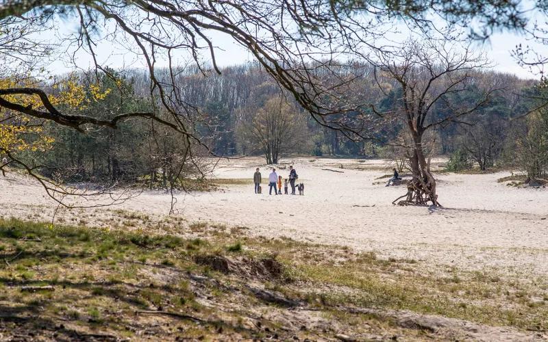
Boswachterij Dorst is the name of an extensive forest area located between Rijen, Oosterhout, Teteringen and Dorst. The area mainly consists of Scots pine forest that was planted on heathland in the early 19th century. This area was known as Seterse Heide. Around 1850, a lot of the forest was cleared when the area was designated as a military training ground. This led to the formation of sand drifts, creating stunning views.
Check out a walking route by Staatsbosbeheer through this area (3.3 km).
The Spinolaschans in Breda was built by field marshal Spinola to close off the city. Nowadays, everything grows and blooms abundantly here and you can enjoy a lovely walk. Staatsbosbeheer manages the renovated Spinolaschans Breda, nowadays a national monument.
Discover the surrounding nature with one of the walking routes near the Spinolaschans. The Spinolaschans in Breda is freely accessible during the day via walking and cycling routes near Hartelweg – Terheijdenseweg in Breda (cycle hub 77).
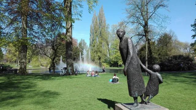
Are you up for a small city walk? Then follow a part of the inner city canals! Start at the Grote Markt and walk through the city park Valkenberg to the Seelighsingel. Continue your way via Mauritssingel, Nassausingel, Wilhelminasingel, Chassésingel, and Marksingel. Then turn right onto Markendaalseweg to return to the city centre.
A lovely round trip, especially in spring when many different flower bulb fields are in bloom along the inner city canals.
You can enjoy a lovely walk at the Galderse Meren in Breda! Start at the Wapen van Galder (Galderseweg 18, Galder) and walk towards the Galderse Meren via the Galderseweg and the Moerstraat. You can walk all the way around it!
Are you a true hiking 'diehard' and also interested in the history of the Nassaus in our province? Then choose the Oranje Nassaupad. An diverse route of 136 kilometres, divided into seven stages. You will walk through urban, wooded, and rural areas.
A folder with all seven routes is available at the information points of Toerisme de Baronie.
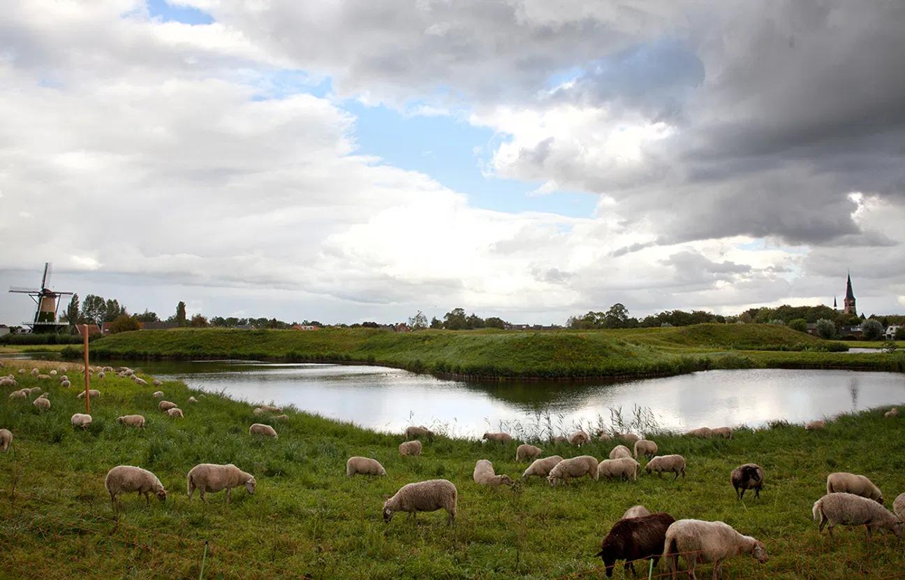
The 'Kleine Schans' in Terheijden is a great place for a walk! You'll find a play fort for children, a watchtower, and a park with several ponds. Fun fact: the 'Kleine Schans' in Terheijden was built in 1639 to protect the shipping on the river Mark and the connection between Breda and Moerdijk. The polders around the 'Kleine Schans' in Terheijden could be flooded. Navigate to the 'Markschans' in Terheijden and you'll find it easily!
In the rural area of Teteringen you will find the Lage Vuchtpolder. In the twentieth century, the polder developed into an agricultural area. The polder is gradually being returned to nature. During the Eighty Years' War, the Lage Vuchtpolder was part of the Breda defensive lines and the Spanish siege lines. The hiking trail is 6.7 kilometres long, which can be extended with an additional detour to 8.2 kilometres.
Download the route here.
Circular walks in combination with The Orange-Nassau Path
Would you like to take a beautiful, varied circular walk? Then try this one out, it's definitely worth it!
Walking route - 106 km
Walking route - 102.34 km
Walking route - 2.5 km
Bicycle route - 27 km
Walking route - 2.5 km
Walking route - 18 km
Bicycle route - 23 km
Walking route - 3.6 km
Walking route - 3.9 km
Walking route - 5.5 km
Walking route - 5 km